
Over the last several weeks, I had the opportunity to do my
first large scale recon of areas that were impacted by the August Complex Fire. As some of you know, on August 17, 2020 a
severe lightning storm started 38 separate wildfires that eventually grew into
what became known as the August Complex Fire.
It was California’s first “Giga Fire” because it consumed
over 1 million acres of private and public lands in or near the Mendocino,
Shasta-Trinity, and Six Rivers National Forests.


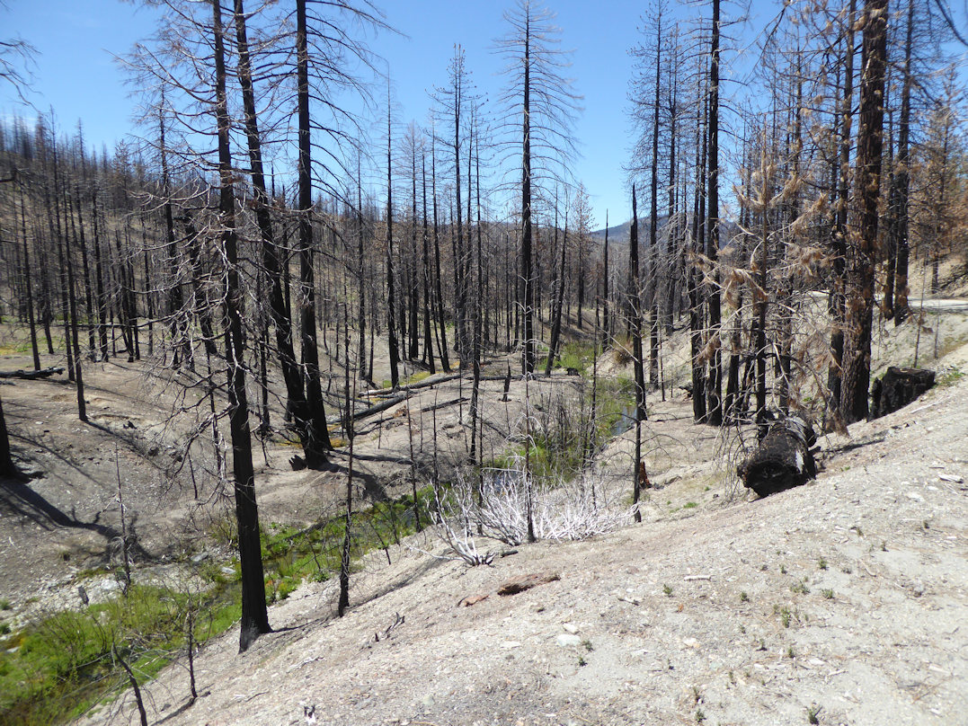
For many of us who worked or recreated on lands within the
burn footprint it was a devastating and life changing event. Many important natural and cultural resources
along with high value recreation assets were consumed by the firestorm and
altered for generations to come.

As somebody who has done a lot of post-fire recovery
volunteer work on forest lands over the last 20 years, I want to state my appreciation
to fire and recreation staff who worked hard to mitigate hazard trees, replace
damaged signs, and address other management issues in high-use areas such as campgrounds
and along key routes.


On the other hand, there are many areas in the burn
footprint that basically appear as they did after the fire was extinguished
almost two years ago. Many signs are
burned up completely or wording is not legible. Road or trail barriers have
been destroyed and remain as they were when the fire crews left.

Unfortunately, the large number of recent mega-fires
compounded by ongoing COVID mitigation measures, retirements, and high cost of
living in certain regions continue to create capacity challenges as the agency
works to address routine management efforts, fuel reduction projects, and their
recreation program.


While trail volunteer crews can and do make a difference,
the lack of agency volunteer coordinators combined with the high cost of living
and astronomical fuel prices - that volunteers must address - does make that
partnership model less sustainable at least for the foreseeable future.

Despite the many challenges and obstacles confronting us, we need to take time to appreciate what we still have and that is access to much of our backcountry road and trail network. Sure, some of the views are not as “scenic” as they once were, but maybe we can envision what it will look like for the next generation.
Many of our favorite trails are still there and a blast to ride
even though they are now lined with the charred remains of fir or pine trees.
And, when we plan a volunteer project it needs to respect and maximize the time donated by our volunteer work force to help the agency continue to provide a high quality recreation experience.
# # #
The devastation is amazing. I imagine this was a very beautiful area before the fire. Sad.
ReplyDelete