Sand Route Along N. Jetty
As inland temperatures on the West Coast soar past the
100 degree mark, QWR wants to remind the OHV community about a 300-acre
sand-dune/beach riding area in Northern California. The Samoa Dunes Recreation Area is managed by
the BLM and offers recreationists a chance to enjoy OHV, fishing, beachcombing,
birdwatching, and picnicking in the cool coastal temperatures that exist in the
Eureka area.

WW2 - Era Ammo Bunker
This area is one of the secret OHV treasures in the
Western States. Where else can you fish,
watch for ships going in and out of Humboldt Bay, challenge yourself to the 4WD
obstacle courses, ride on the beach, or take pictures of your ATV or SxS at the
entrance to one of the many WW2-era ammo bunkers that dot the landscape?

This is a family-oriented riding area that serves all
skill levels. There is open riding on
the beach along with many sand-trails that can provide you with hours of fun.

SxS on Jetty Route
The Samoa Dunes is a day-use area. However, there is a county park adjacent to the
dunes where users can either tent camp or base their activities from a
toy-hauler. There is a “sand highway”
that connects the county park to the Samoa Dunes.

If you don’t want to camp, there are many hotels in
nearby Eureka or Arcata. The
world-famous Samoa Cookhouse is close-by per chance you work up an appetite
after a long day on the dunes.

Multiple 4x4 Obstacle Courses
QWR believes the Samoa Dunes is a must visit area for
riders who want to enjoy beach/sand-oriented motorized recreation with their
family and/or friends.

If you are lucky, you may even see an occasional whale
that strays into Humboldt Bay or watch a tug boat tow out a lumber or chip
barge.

County Campground
Don’t forget to bring your fishing pole as there are
plenty of casting sites along the jetty.

Open Riding and Sand Trails
Finally, this is a great case example of how your CA OHV “Green
Sticker” funds are used as a force multiplier in the partnership that exists
between the BLM and the OHMVR Division.
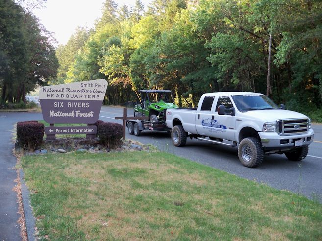
Samoa Dunes Recreation Area
http://www.blm.gov/ca/st/en/fo/arcata/samoa.html
Samoa Boat Ramp County Park
http://co.humboldt.ca.us/portal/living/county_parks/default.asp?parkID=S
Samoa Cookhouse
http://www.samoacookhouse.net/